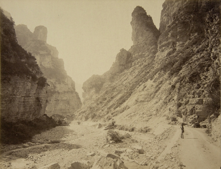
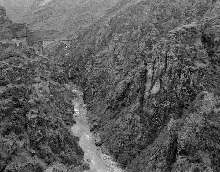
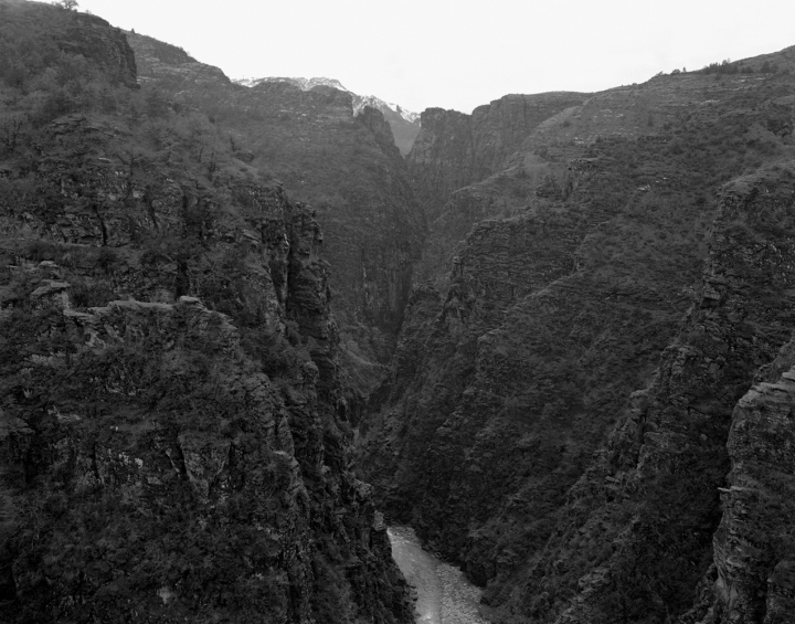


From map to territory (Between roads and paths of the Alpes maritimes.)
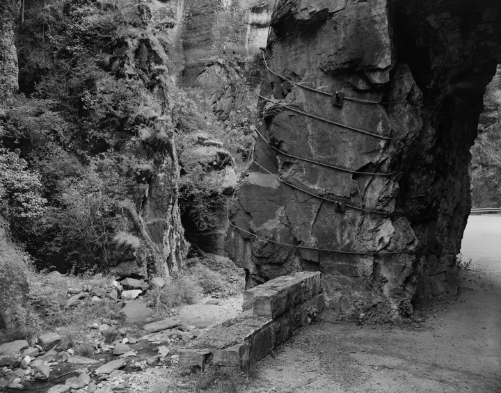
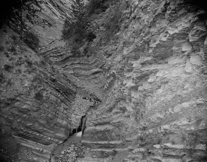
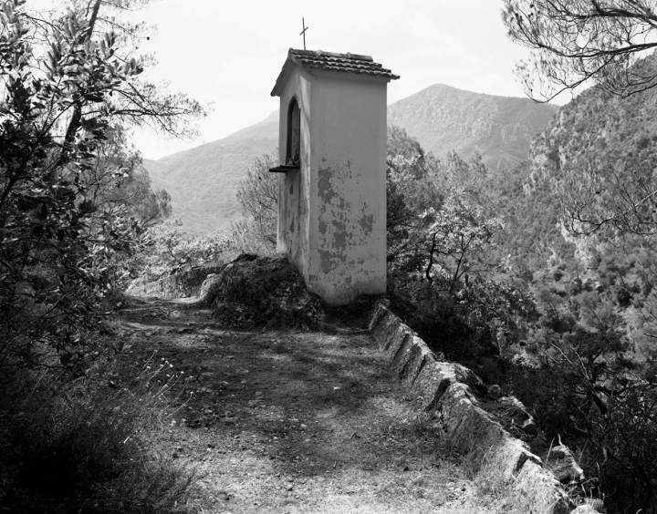
Because of its topographical complexity, the territory that lies beneath the administrative boundaries of the Alpes Maritimes department caught my eye and I settled in with my 4×5 inch camera.
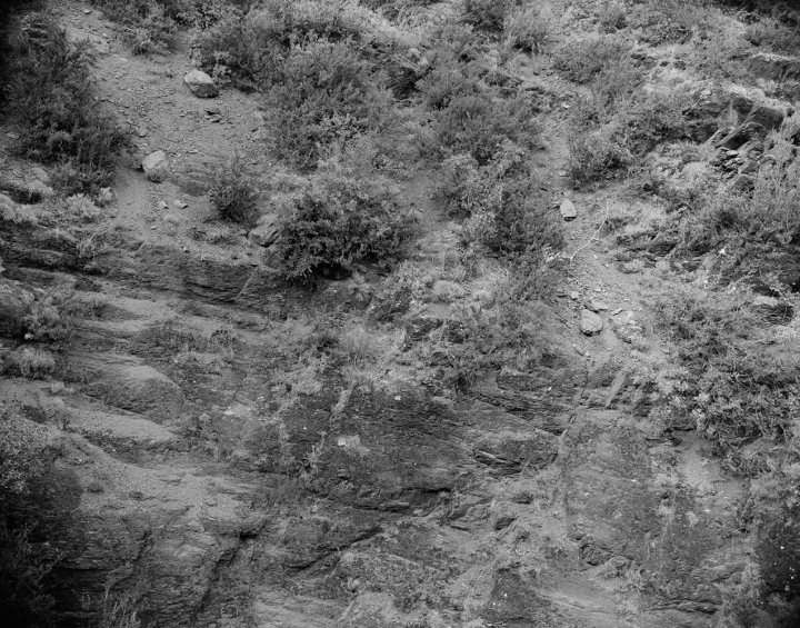
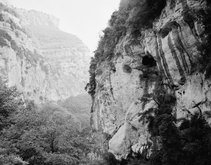
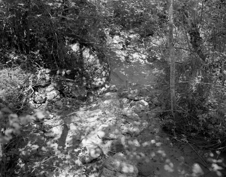
Far from the ‘clichés’ of the Côte d’Azur revealed by tourist postcards since the 19th century, I wanted to turn my attention to the hinterland. For a long time, the hinterland was a pejorative term suggesting a hidden, inhospitable territory of little interest.
The geographer tells us that this term is justified by its topographical position, commonly referring to « a region of a country situated behind its coasts ».
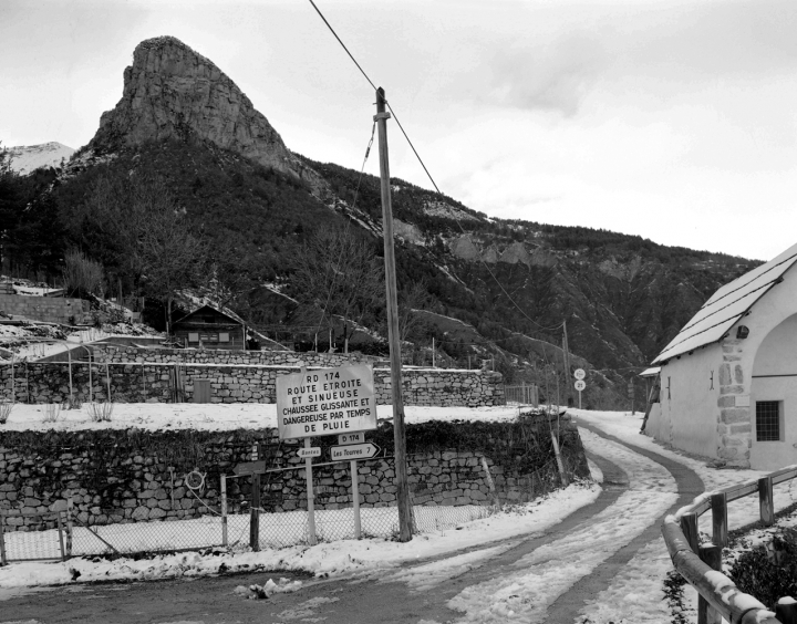
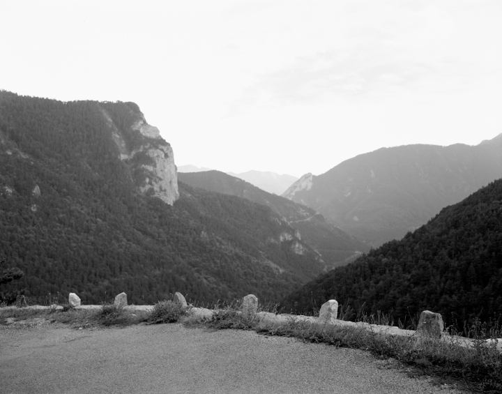
The « front » of the country faces the sea and the horizon; it is the seaport open to the rest of the world. In contrast, or in a different way, we could also say that the hinterland is a country in the shadow of the sea, a country of « secrets », a land to be crossed that only reveals itself to those – the curious, the adventurer, the passer-by – who want to move on to other lands.
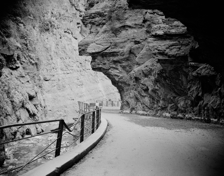
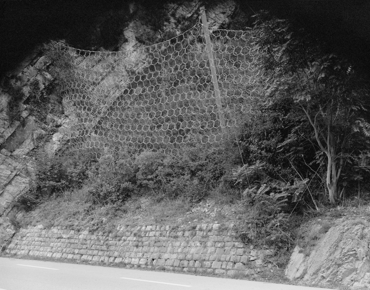
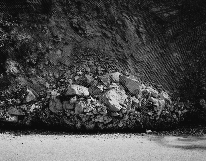
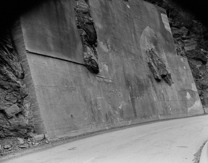
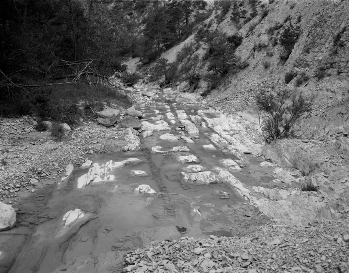
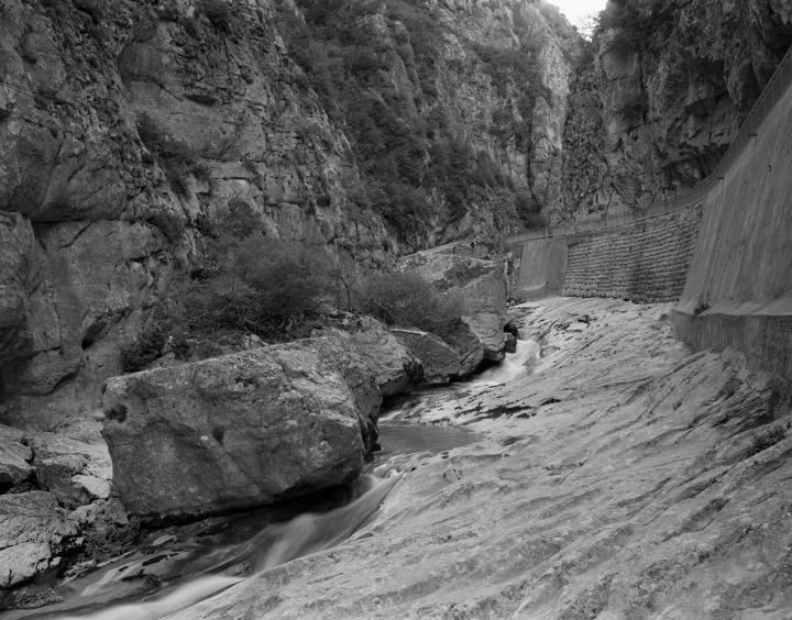
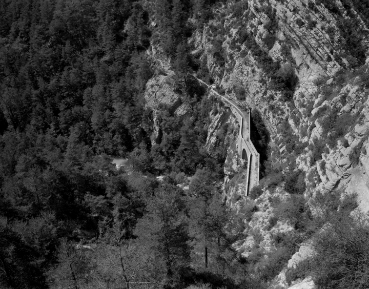
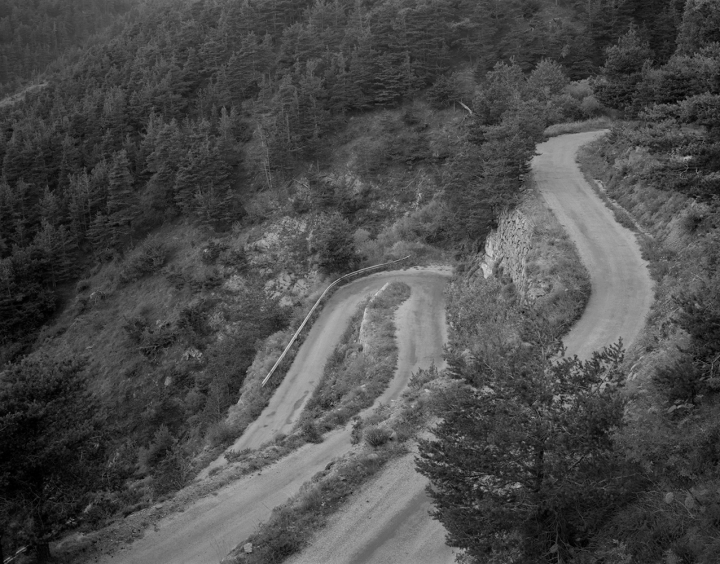
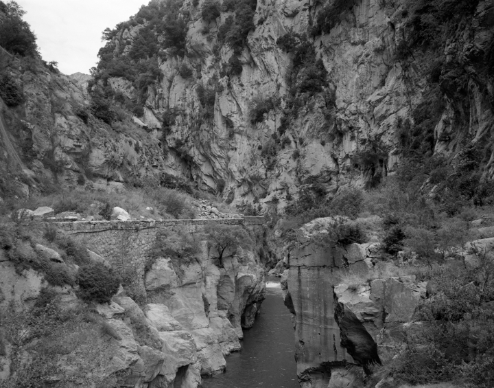
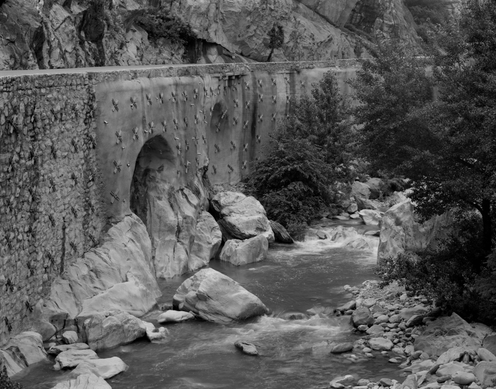
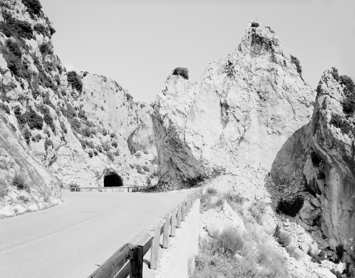
Here you cross rivers and skirt peaks, crossing them to link up with Italy and other territories further north.
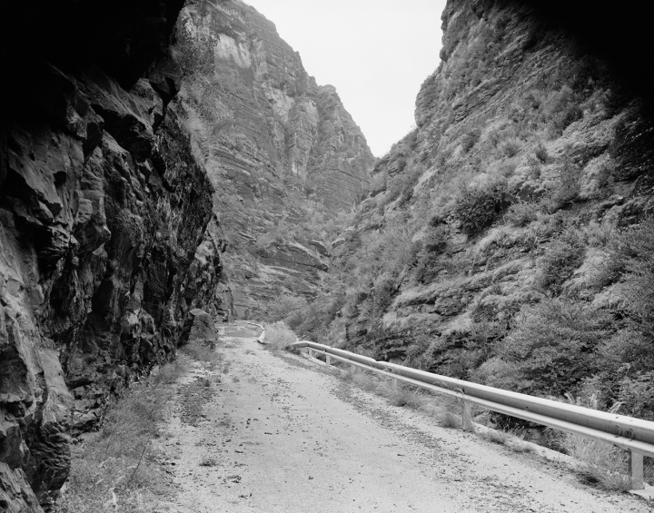
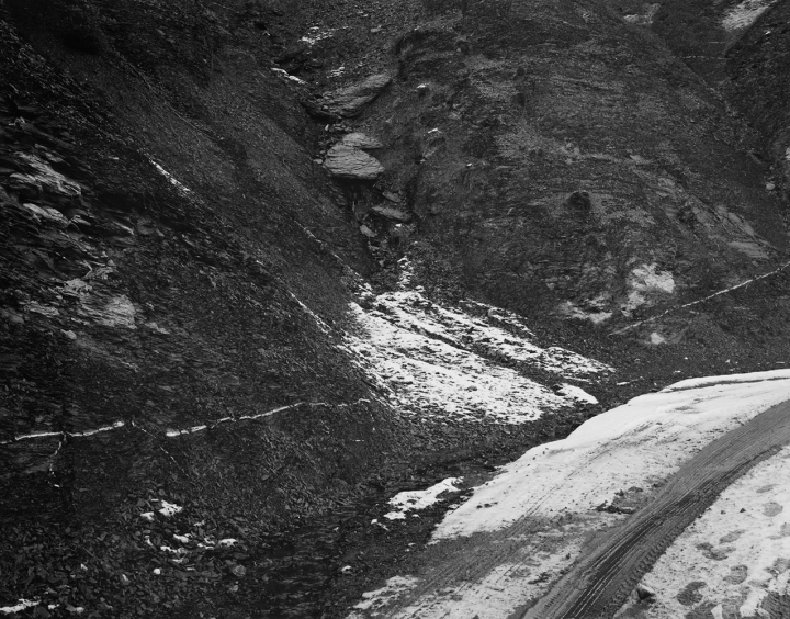
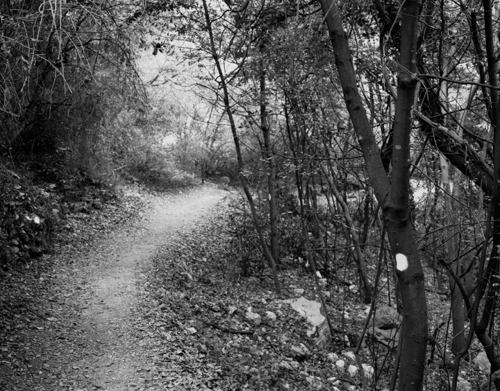
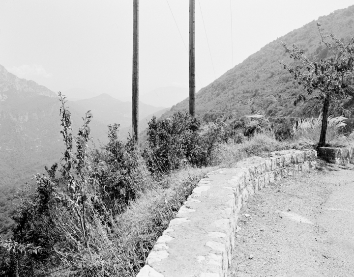
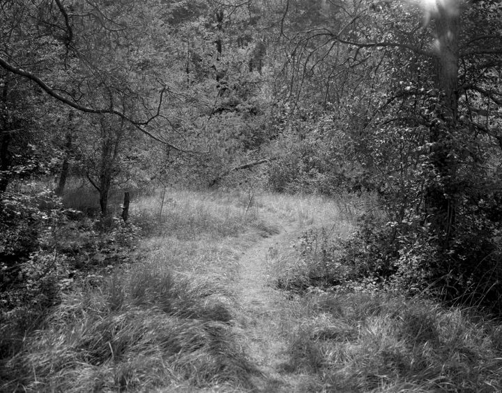
It’s a « secret » country that I wanted to discover, on foot or by car. My experience of the territory and the images that express it are born of a visual perception of a landscape in motion, at double speed or variable speed, one might say.
The means of travel adapt to the terrain and the topography. Perception and point of view are linked to the slowness of the walker, or at other times, to those more fleeting and elusive of the motorist.