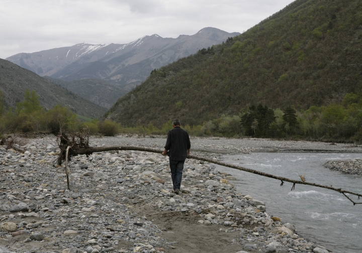

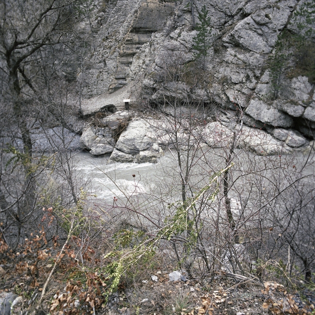
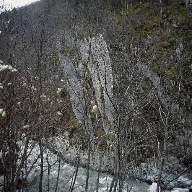
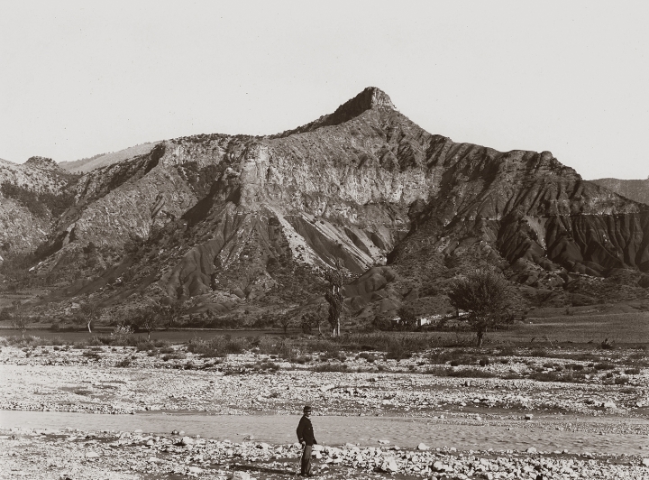


I discovered the Bès and Bléone rivers in the summer of 2009. These valleys, which enclose the Massif du Blayeul, have their own topography. I concentrate on the geographical area delimited by their riverbeds and adjust the margins as I see fit.
Notes, photographs, drawings and ‘surveys’, as I make my way along, initiate a dialogue with illustrious passers-by such as Pierre Gassendi (Opera Omnia. et de lapidibus ac metallis), Nicolas Fabri de Peiresc (De la formation des cailloux des rivières), Prosper Demontzey (Traité pratique du reboisement et du gazonnement des montagnes) and Alexandre Surrell (Etude sur les torrents des Hautes-Alpes), or Jean Proal, and with researchers from the IRSTEA. Their footsteps awaken me and I like to follow in their footsteps to create an atlas that combines a personal ‘geopoetic’ approach with rational ‘knowledge’.
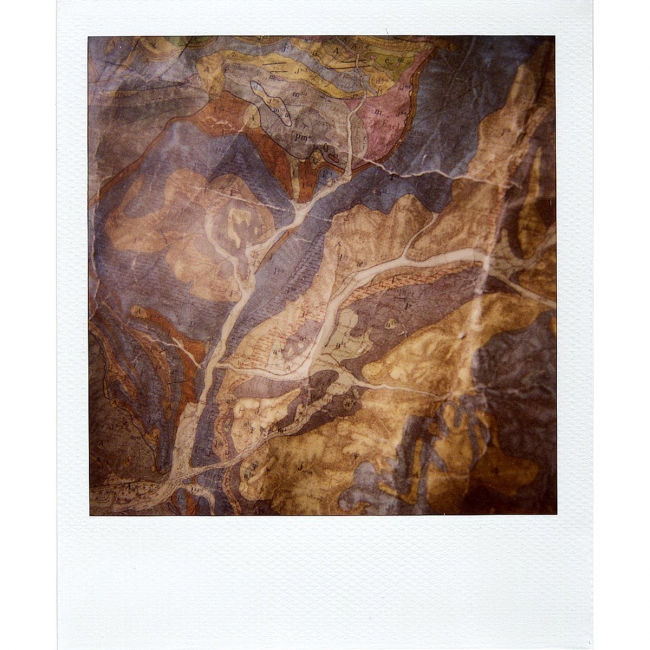
This atlas combines photography, inventory, uses, geography, toponymy, traces, cartography, itineraries and measurements…
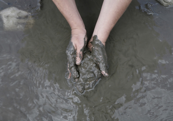
It reflects the desire to identify man’s relationship with nature and the landscape within a given geographical area. It’s about surveying the area, entering into its intimacy and imagining what the original relationship with nature might have been, based on the emotions felt. The aim is also to explore the relationship between nature and culture, and to highlight the fragile balance between man and his environment, based on observations that raise awareness of the transformations in the landscape that are directly linked to man’s actions or caused by natural events. Traces are then written and revealed, between tension and equilibrium, the palimpsest of a barely visible history, a ‘space-between’ the Bès and the Bléone.
DESCRIPTION
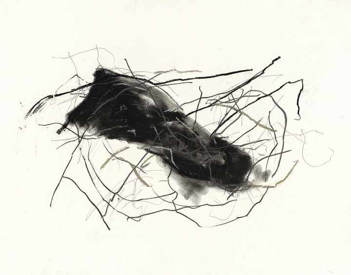
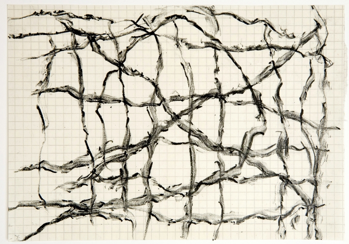
« It may seem pointless to ‘identify’, to map out a moving space and turn it into a ‘place’. To describe it, I combine several media – photography, drawing, video, sculpture and installation – all of which convey the sensitivity of this territory in different ways. Each medium prescribes a part of my thinking and gives us ‘something to see’ and ‘something to understand’.
This project combines a cognitive approach with a sensitive and imaginative one. It involves apprehending, experimenting, recording traces on a sensory scale, collecting objects and stories, and inventing a vocabulary (toponymy, techniques), tools, codes and devices that challenge our perception of the place.
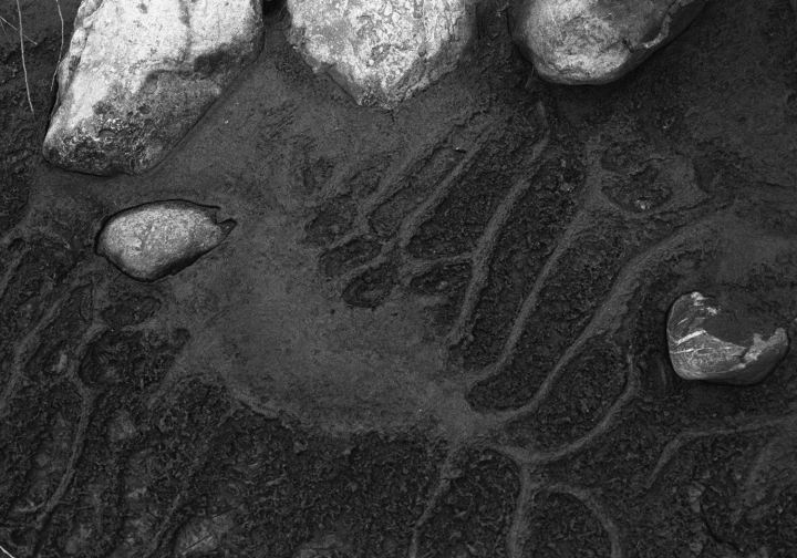
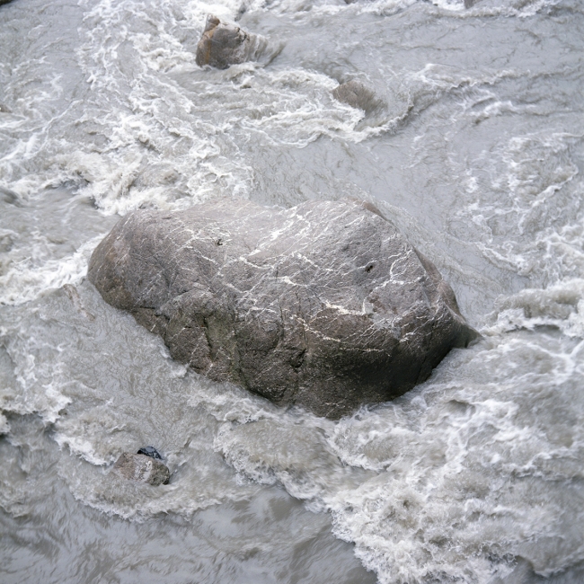
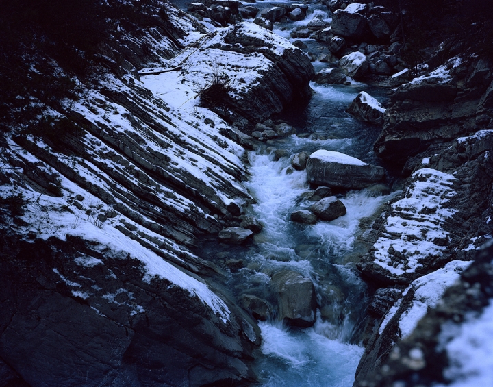
A chorography is gradually being written, with our eyes on this place, our feet on this piece of territory, in an attempt to describe the world. Here, then, is the beginning of a story that can be read on the surface of the water, but which has its source even deeper down. There are sometimes indefinable relationships between man and place. A time out of time that almost nothing can date. It’s just the river’s cycle.
HISTORY/MEMORY
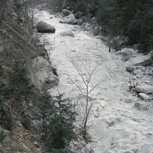
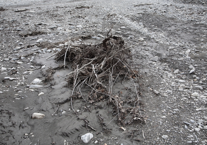
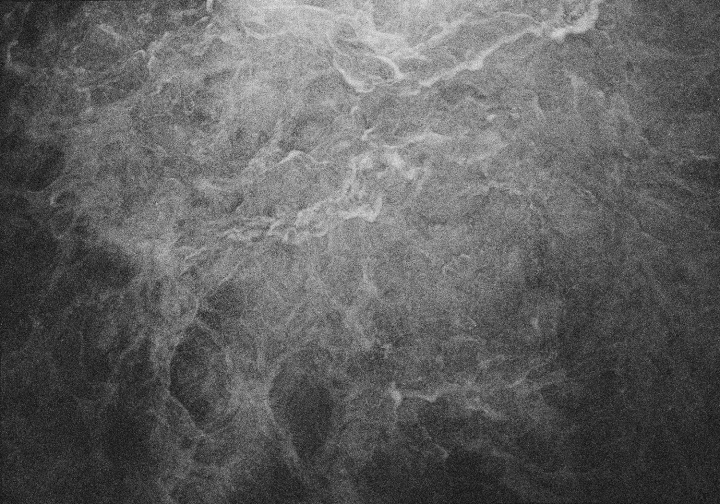
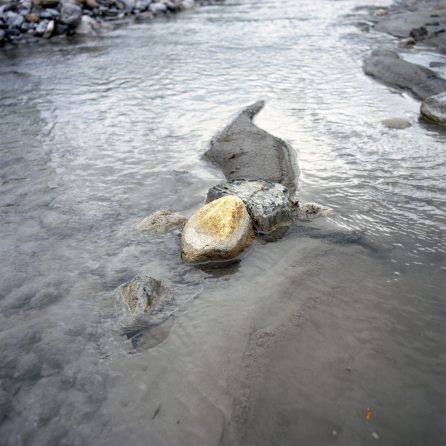
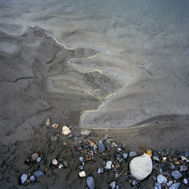
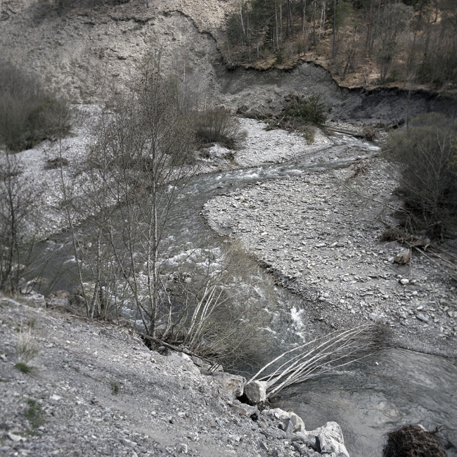
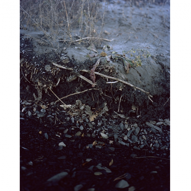
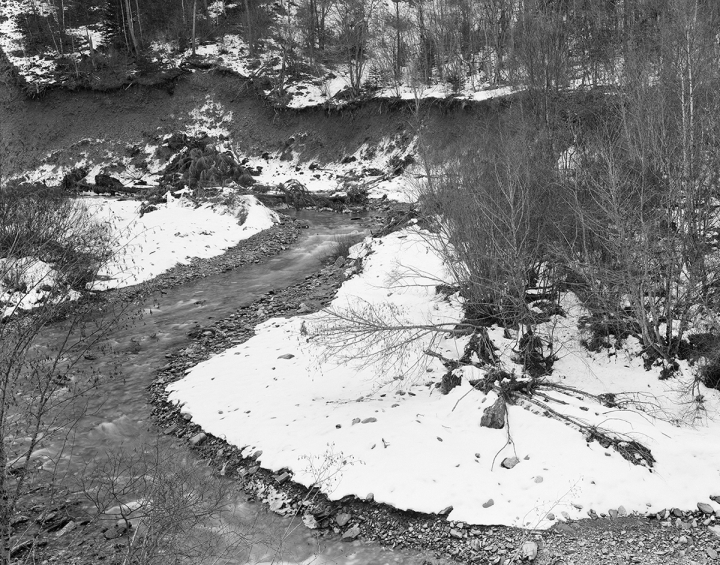
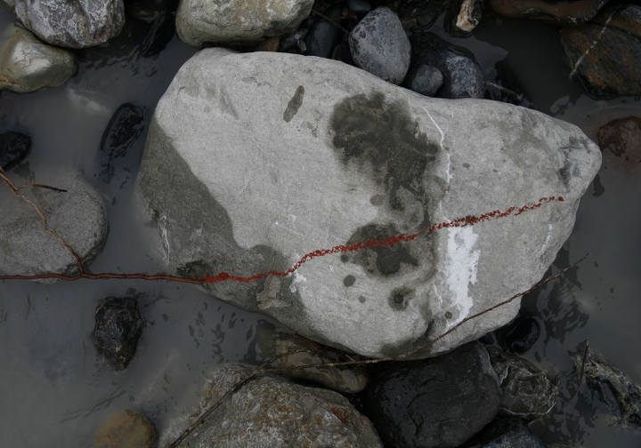
History has different strata, rhythms and cycles. Geology, with the substratum under the pebbles, the sediments along the riverbanks, the more recent soils, the thin layer of earth that covers the mountains; the wind that rushes through the valleys, grazes or blows against the slopes and ridges of the massifs, where countless trees have grown since the end of the 19th century during the Mountain Land Restoration programme, woods that today yield trunks carried to the surface of the water in the course of the Bès and the Bléone, as the bed takes shape when the rivers swell.
All that a river carries is memory.